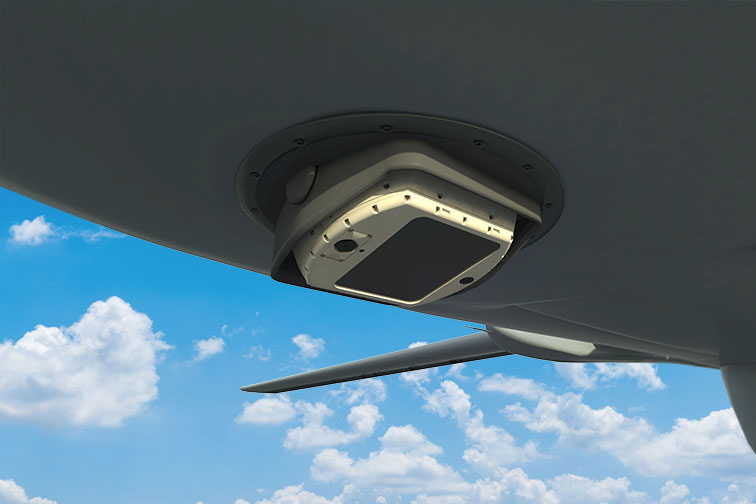
WASP(Wide Area Surveillance payload)
Lotus Advanced Technologies addresses the limitations of current Electro-Optical Payloads by offering a sophisticated Situational Awareness solution tailored for Airborne Platforms. Our innovative technology ensures continuous monitoring of expansive areas while simultaneously detecting and tracking multiple points of interest.
Introducing WASP, a compact airborne Electro-Optical System equipped with cutting-edge Day and Night Wide Area Motion Imagery (WAMI) sensors. WASP delivers persistent surveillance capabilities, enabling comprehensive situational awareness by efficiently monitoring vast regions and tracking targets with precision.
WASP stands out for its ability to provide wide field-of-view coverage with high-resolution imagery in a compact Size, Weight, and Power (SWaP) form factor. It seamlessly integrates Color Visible and Thermal (Mid-Wave IR) imaging for continuous operation, day or night.
Designed for effortless installation on various airborne platforms including fixed-wing aircraft, rotary-wing aircraft, unmanned drones, and aerostats, WASP features a robust 3-axis stabilization system. This ensures sharp imagery capture even during platform maneuvers and vibrations.
To enhance operational efficiency, an optional Airborne Digital Processing Unit (DPU) accompanies WASP, employing advanced algorithms for automatic detection, classification, and tracking of objects within the monitored area. With Lotus Advanced Technologies, elevate your airborne surveillance capabilities to unprecedented levels of performance and reliability.
| Technical Details | |
| Concurrent Capture of Visible and Infrared Imagery |
|
| Featherweight and Portable, Weighing Merely 6.5 Kg (Excluding DPU) | |
| Ground Resolution for Visible and MWIR: • 0.15m at 6,000 feet Altitude • 0.5m at 20,000 feet Altitude |
|
| Area Coverage for Visible and MWIR: • 2 square kilometers at 6,000 feet Altitude • 20 square kilometers at 20,000 feet Altitude |
|
